


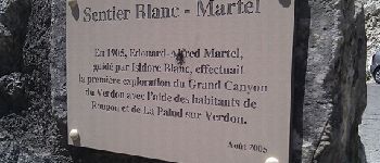
Sentier Blanc-Martel

i20
User

Length
15.4 km

Max alt
903 m

Uphill gradient
1171 m
Km-Effort
31 km

Min alt
556 m

Downhill gradient
1268 m
Boucle
No
Creation date :
2014-12-10 00:00:00.0
Updated on :
2014-12-10 00:00:00.0
--
Difficulty : Medium

FREE GPS app for hiking
 SityTrail
IGN / Geographical institutes
SityTrail Plus
The world is yours!
About
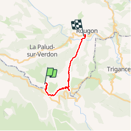
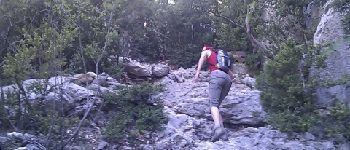
Trail Walking of 15.4 km to be discovered at Provence-Alpes-Côte d'Azur, Alpes-de-Haute-Provence, La Palud-sur-Verdon. This trail is proposed by i20.
Description
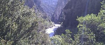
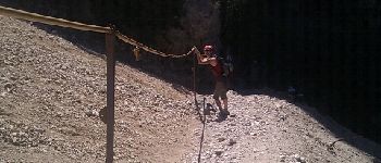
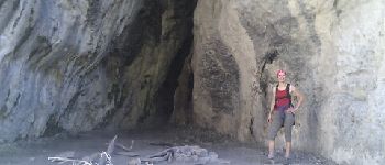
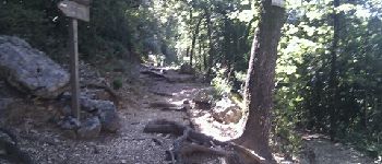
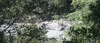
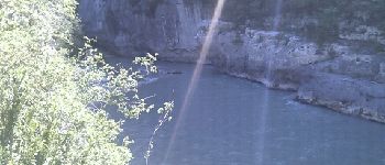
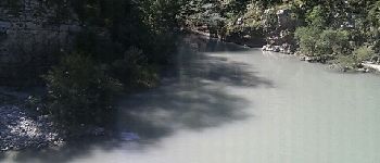
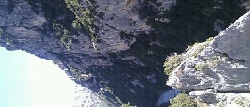
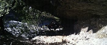
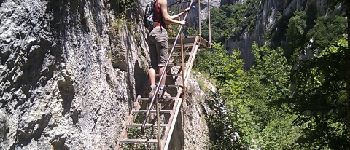
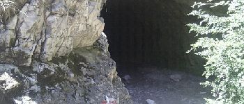
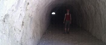
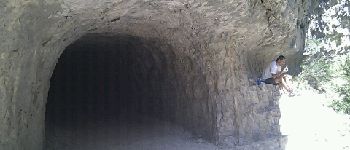
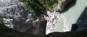
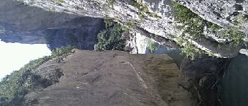
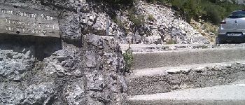
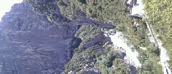
La classique des gorges du Verdon.
Quelques erreurs de positions GPS dûes à la situation très encaissée (Au niveau de la Mescla, la corniche est 735m plus haut)
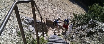
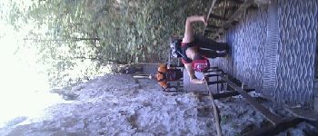
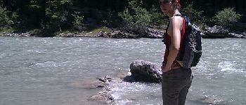
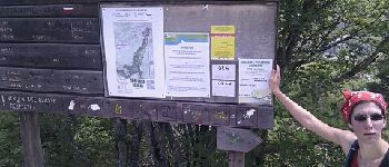
Photos


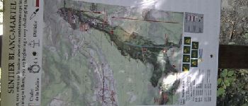
Points of interest


Positioning
Country:
France
Region :
Provence-Alpes-Côte d'Azur
Department/Province :
Alpes-de-Haute-Provence
Municipality :
La Palud-sur-Verdon
Location:
Unknown
Start:(Dec)
Start:(UTM)
286292 ; 4847201 (32T) N.
Comments
Je pense que vous souhaitiez commenter l'application, pas mon tracé :-)
Bon logiciel avec beaucoup de fonctionnalités. Un gros défaut à corriger rapidement le calcul du dénivelé qui est complètement aberrant.